


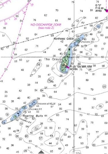
A modern navigation chart shows The Graves and Graves Light.
Graves Ledge is the outermost set of rocks where Boston Harbor meets Massachusetts Bay.
The top image is a close-up from a modern navigation chart.
The lower image is from a modern topographical map, indicating where The Graves ledges are located relative to the rest of the harbor.
To download an 1877 map of Boston Harbor, where The Graves are marked by a whistle buoy, click here: Boston Harbor 1877 US Coast Survey
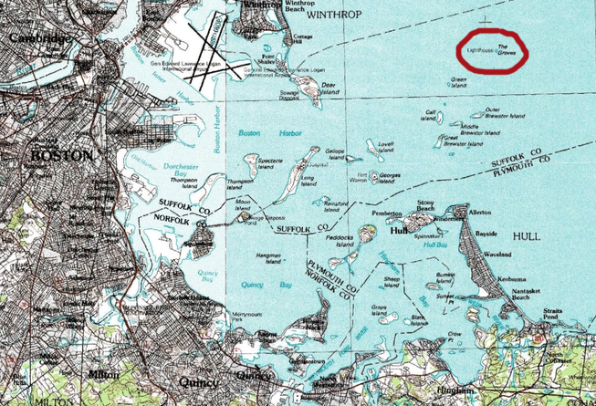
A topographical map of Boston Harbor shows Graves Light, circled in red. (Courtesy of Wikipedia)

ALL I can say is wow. What a treasure. Nice website as well.
Keep on fighting…..
What if any services do you draw from the Town of Hull? I suspect none! if that is true then you should challenge what they are billing you for. Schools? Police, Fire, Roads, etc. If none then there is no cost of having you 9 miles out to sea on your own independent island.