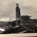
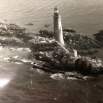
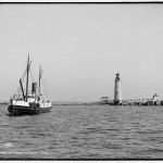
Collecting historical pictures, photographs and diagrams of Graves Light is helping us to understand how the lighthouse was built and how it looked at a given time since its construction.
Below is a gallery of historical pictures that we dug from the Massachusetts state archives, discovered on other lighthouse websites, or found in newspaper archives. We understand that all the photos are in the public domain. (If they aren’t, please let us know.)
Also see our pages on historical pictures of shipwrecks on and around The Graves.
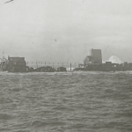
- What are those tanks in the picture? We don’t know.
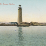
- An early postcard of the lighthouse.
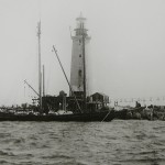
- Progress in 1903: Workers’ quarters are linked by catwalk to the first section of Graves Light. (Photo courtesy of the Massachusetts Historical Society)
- The base of Graves Light by late summer, 1903. (Photo courtesy of the Massachusetts Historical Society)
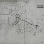
- An image of the original Army engineers’ plan for building the lighthouse and oil house on Graves Ledge, joined by a 90-foot elevated catwalk. (Photo courtesy of the Massachusetts Historical Society)
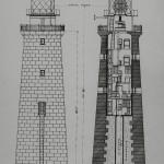
- Architectural drawing of Graves Light shows how the tower was built atop a stump of the ledge, and the internal facilities: two cisterns, five levels within the granite walls, and two levels above. Note the dual round lenses within the giant first-order Fresnel Lens that gave Graves its distinctive two-flash pattern. (Photo courtesy of the Massachusetts Historical Society)
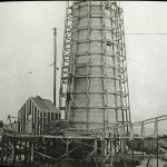
- Wooden scaffolding surrounds the new tower as the builders proceed in 1904. Some of the construction shanties apparently remained for a few years after completion. (Photo courtesy of the Massachusetts Historical Society)
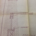
- A 1970s engineering chart to modify access to the light.
- The lighthouse nears completion in mid-summer 1905. A 110-ton stone schooner delivers granite boulders to build riprap breakwaters to protect the beacon from the sea. (Photo courtesy of the Massachusetts Historical Society)
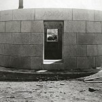
- Master stonemasons at the Rockport granite quarry pieced together each level of Graves Light before transferring them to ships for delivery to the ledge. Pictured is the entrance to the lighthouse, to be installed 40 feet above the sea. The date, “A.D. 1903” appears over the door. (Photo courtesy of the Massachusetts Historical Society)
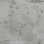
- An Army Corps of Engineers overhead sketch of Graves Ledge, prior to construction of the lighthouse, shows parts of the ledge to be removed. (Photo courtesy of the Massachusetts Historical Society)
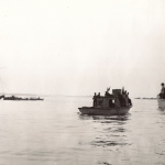
- Salvage teams for the SS City of Salisbury.
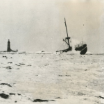
- The SS City of Salisbury is broken in two on an uncharted part of Graves Ledge. Graves Light is seen in the upper left background.
- Early stages of construction. (Photo courtesy of the Massachusetts Historical Society)
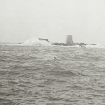
- ‘Storm administers coup de grace’ is the news caption on this original 1938 photo from the archives of the San Francisco Examiner. We acquired the original from the Examiner archives.
- Nice view of bridge. Anybody know what’s going on here?
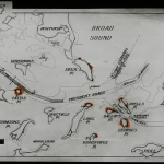
- Bigger ships required bigger channels for Boston to remain a competitive seaport and to sustain the growth and economy of New England. Graves Light was required to help those ships navigate the new channels dredged and blasted by Broad Sound. (Photo courtesy of the Massachusetts Historical Society)
- We’d like to find out what is happening in this picture. Anybody know?
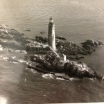
- This photo was popular for early Graves Light postcards.


