


Carlos helps prepare for an improved access spot to treacherous Graves Ledge.
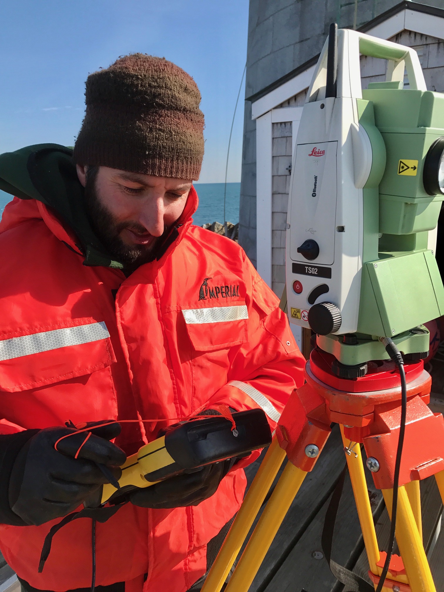
Inputting coordinates for a 3-D image of the ledge.
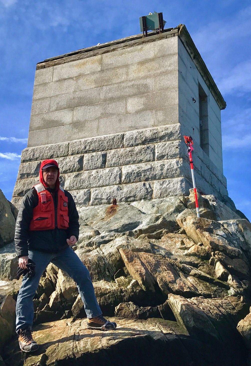
A stunning February morning finds CLE Engineers surveying Graves Ledge in preparation for a new landing area and improved access to the treacherous island.
Mike recorded over 300 points so Carlos can generate a 3D topographic map.
The map will be the basis for designing and permitting compliant structures which will make life a lot easier out here.
Critical aspects: Anything we build must be in harmony with the natural and historic aesthetic of the property.
It also must be strongly built to withstand the harshest North Atlantic weather.
